Skimo / Stubai
Zuckerhütl (3507m) from Schaufeljoch
6 May 2024 · Lukas Toma
- Ascent
- 800 m
- Time
- 3h
- Start & finish
- Parking lot of Stubai Glacier Ski Resort
- Aspect
- West / North
Very popular alpine tour to the highest summit of the Stubai Alps. A great introduction into alpine skimo, that receives a lot of traffic on nice spring days as a result.
The route
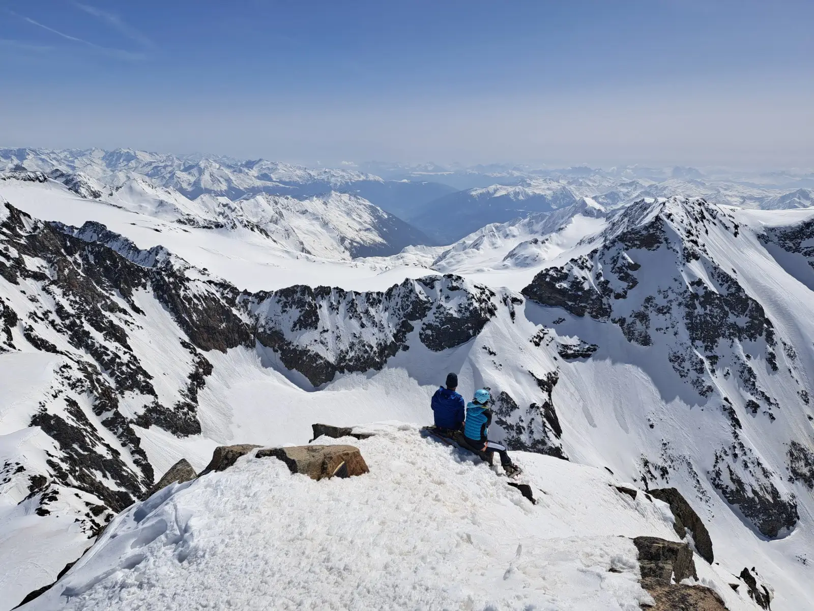
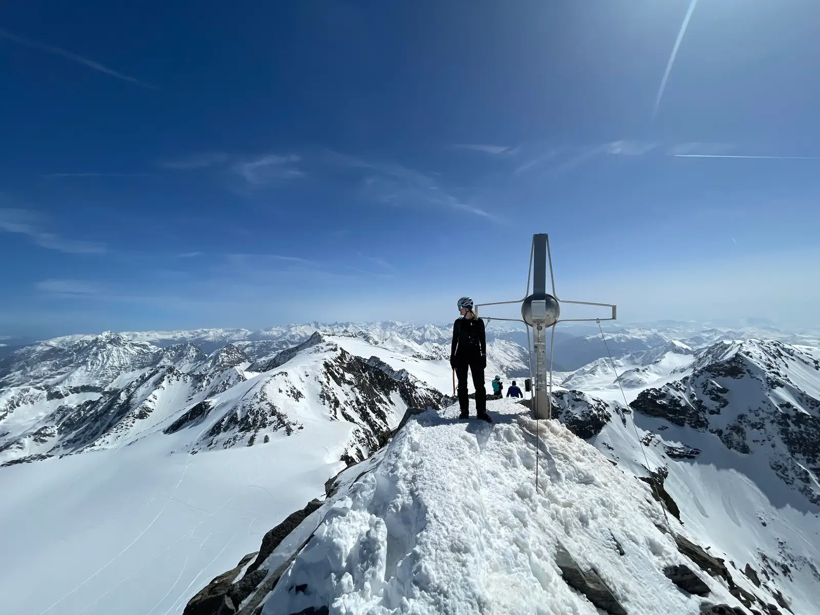
A ski tour of the superlatives to the highest peak of the Stubai Alps. A spectacular panoramic view awaits us at the summit. Great views of the peaks into the rest of the Stubai Alps, the Ötztal Alps, the Zillertal Alps, and the Dolomites. Depending on the choice of descent, from not too difficult to very challenging runs! This tour is most beautiful and safest in spring when the snow conditions are firn.
Ascent
From the Mutterberg valley station, take the “Eisgrat I+II” gondola lift (left lift-2 sections) up to the Eisgrat station, and from there take the “Schaufeljoch” gondola lift to the Schaufeljoch. Descent over the Gaiskarferner (slope) into a hollow below the base station of the tow lift (2850 m).
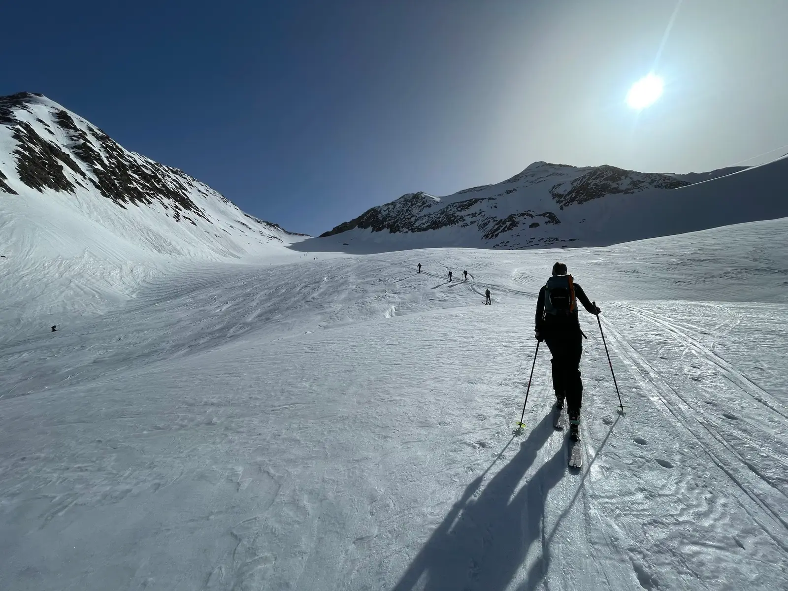
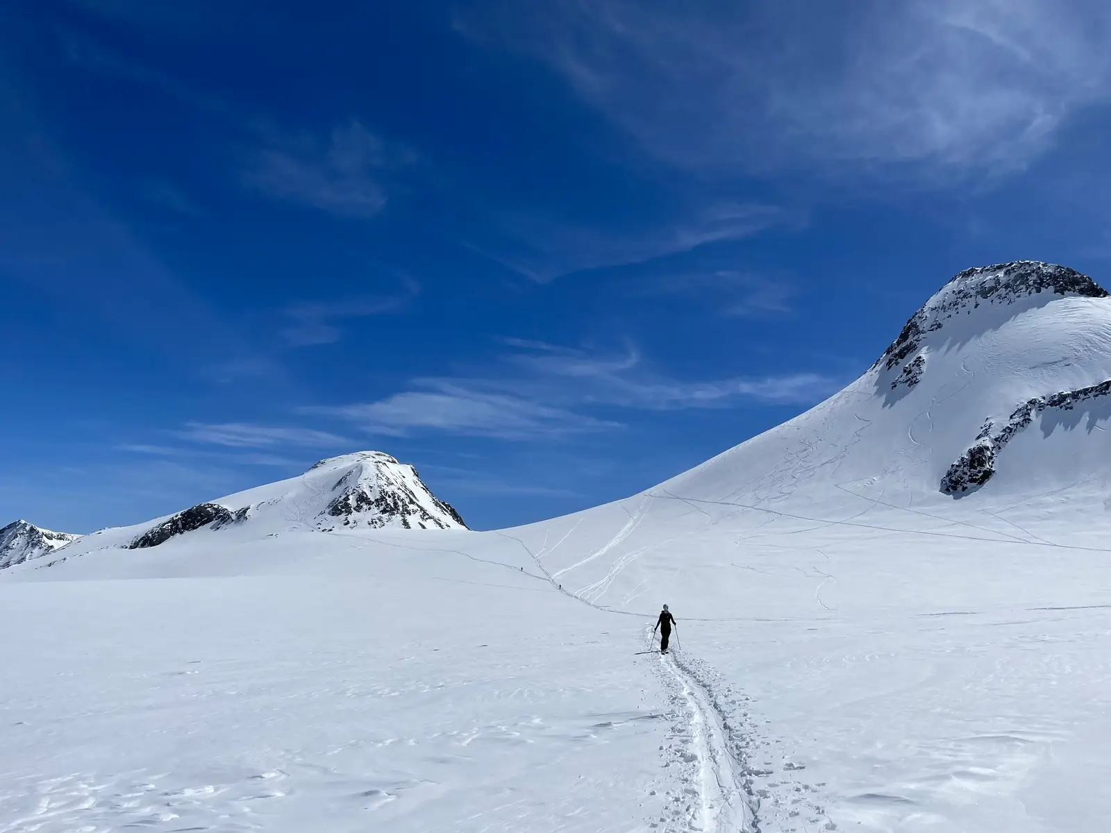
Put your skins on and cross diagonally with minimal elevation gain to the Pfaffenferner. Head east over a long steep section into the flat glacier basin below the Pfaffenjoch. Keeping flat in the middle, and finally ascending slightly steeper, up to the Pfaffenjoch (3212 m).
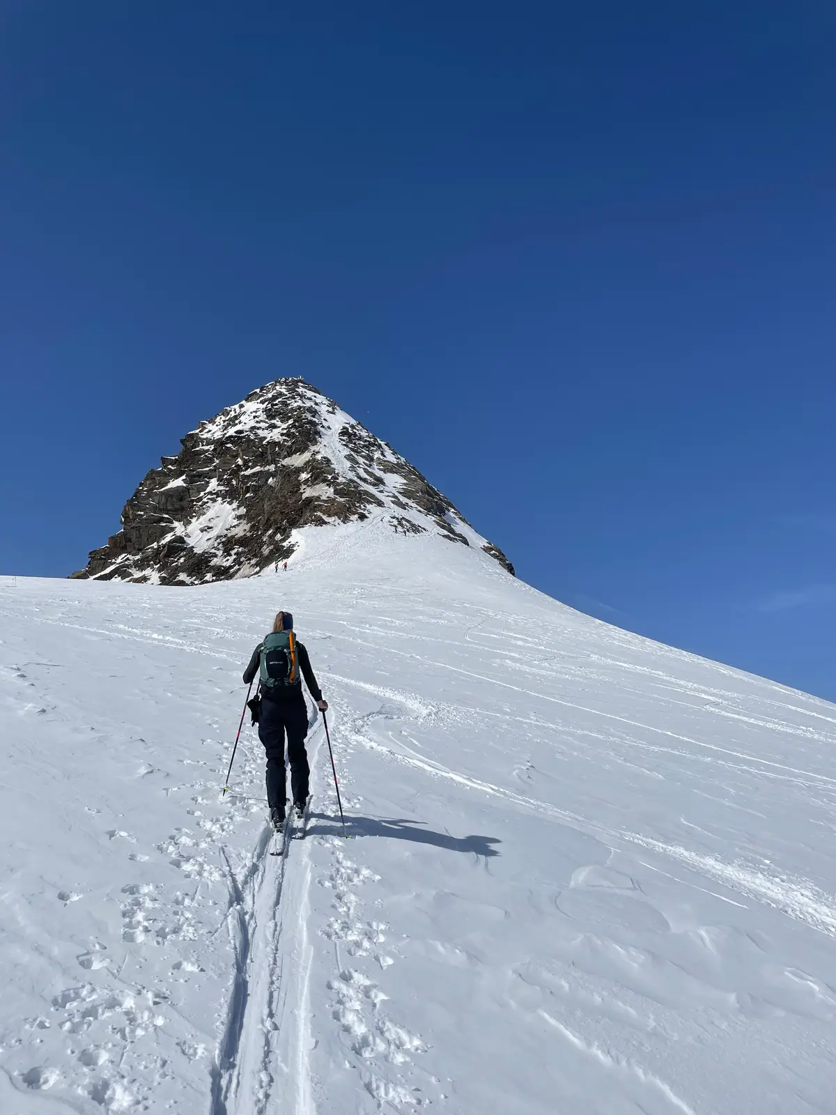
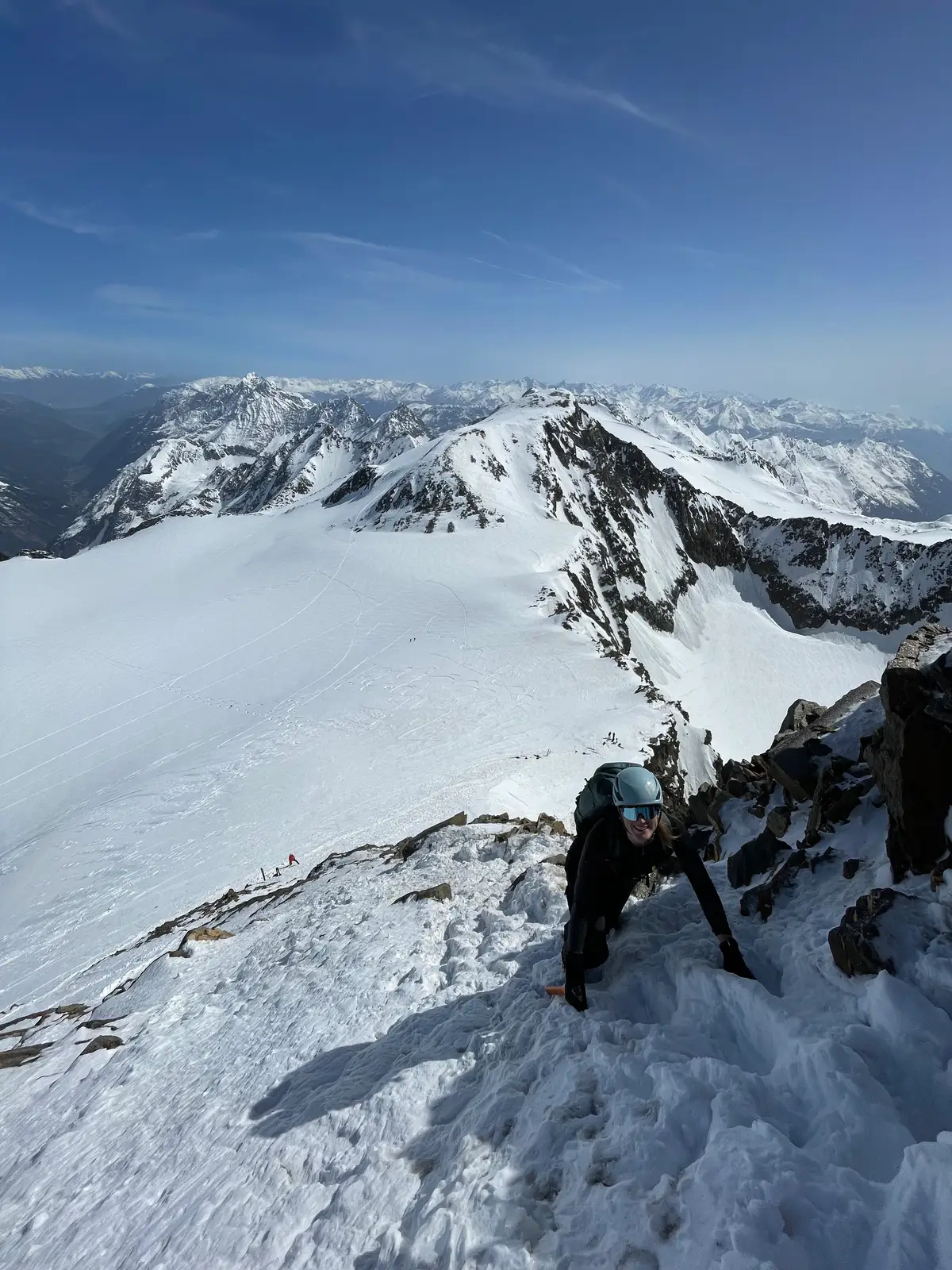
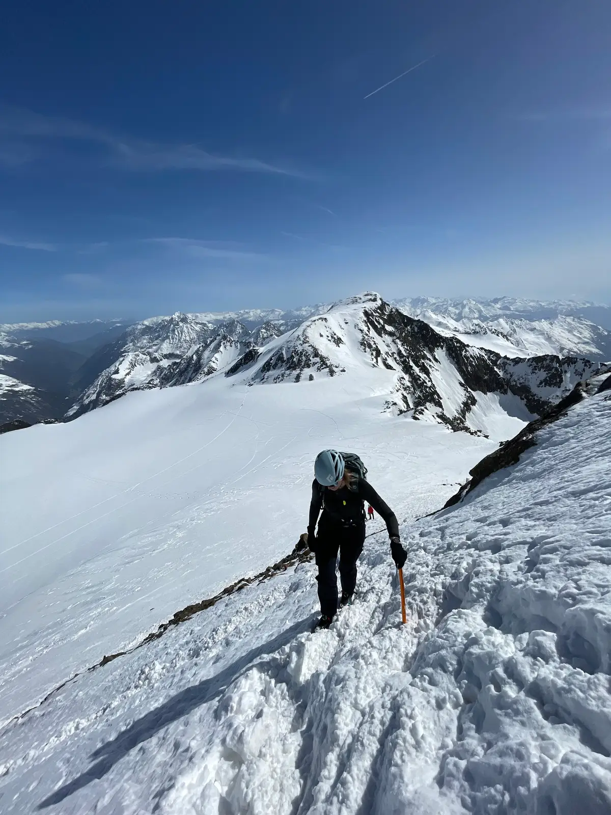
From there, traverse fairly flatly below the north flank of the Zuckerhütl into the Pfaffensattel, and ascend as high as possible on skis along the broad eastern ridge. Leaving your skis here, proceed on foot, usually with crampons, up the now very steep eastern flank to the summit (tricky if icy or with lot of people - there are safety rings in the upper part!).
Descend
Return to the base station of the tow lift and either take it up to the Eisjoch or walk to the Eisjoch. Continue the descent to above Gamsgarten and in a few minutes along the cross-country ski track to the valley descent Wilde Grube (about 240 m additional elevation!). There is also the option to walk north towards Schaufelnieder (about 170 additional meters in elevation!), and descend over the Fernauferner to the Dresdner Hütte. From there, take the cable car or directly via the off-piste descent into the valley to the Mutterberg valley station.
Photos by@the.running.nomadand@annikasuess