Trails / Karwendel
Long valleys of Karwendel
14 July 2025 · Lukas Toma
- Length
- 43 km
- Vertical
- 1600 m
- Start & finish
- Parkplatz Scharnitz
- Speed
- Mostly very runnable forest roads and trails. The only technical part is between Hallerangerhaus and Stempeljoch.
Long and fast loop through the long valleys of Karwendel National Park, allowing us to move fast through some of the most remote terrain Tirol has to offer.
The route
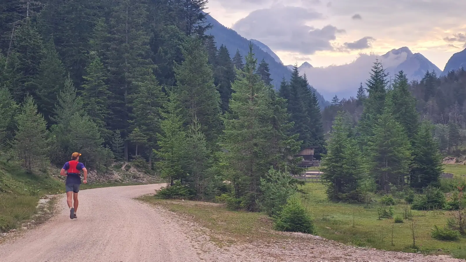
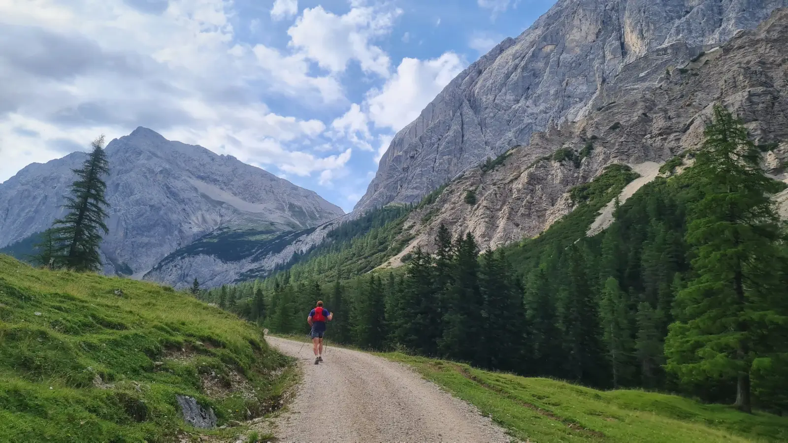
We start off from the parking lot in Scharnitz, that serves as an entry point to the Karwendel National Park from the west. The navigation for the loop is relatively easy. We start following the signs towards Kastenalm and Hallerangerhaus. The route is a relatively flat and very runnable forest road through a wide valley. We can feel running away from the civilization.
After about 12km of very runnable terrain, we reach the Kastenalm. After the hut, the road gets quite steep for a while, before getting gentler again towards the Hallerangerhaus. This is a great place to take a break before the more technical sections of the route start.
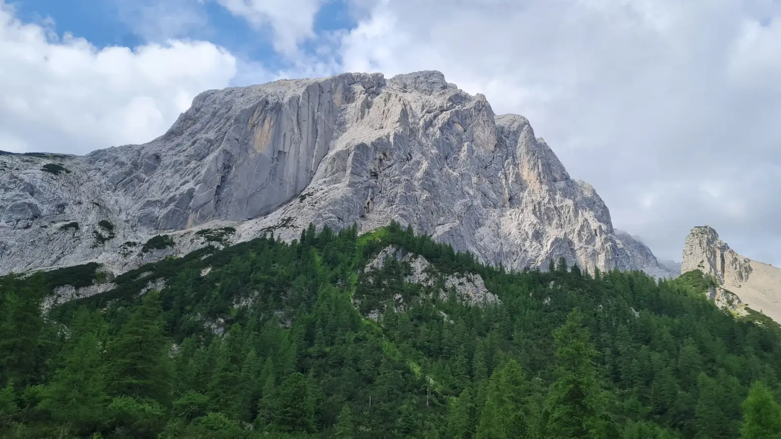
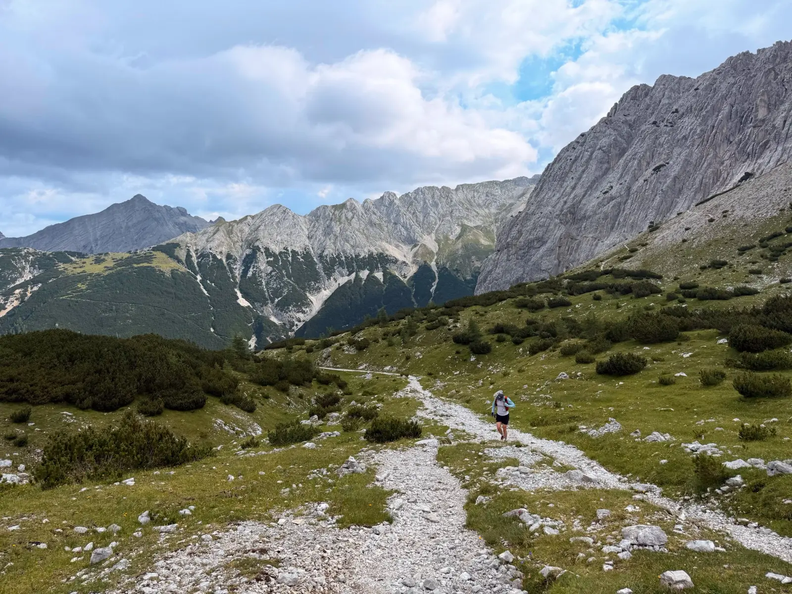
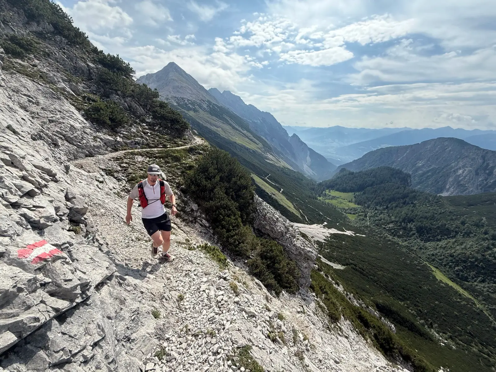
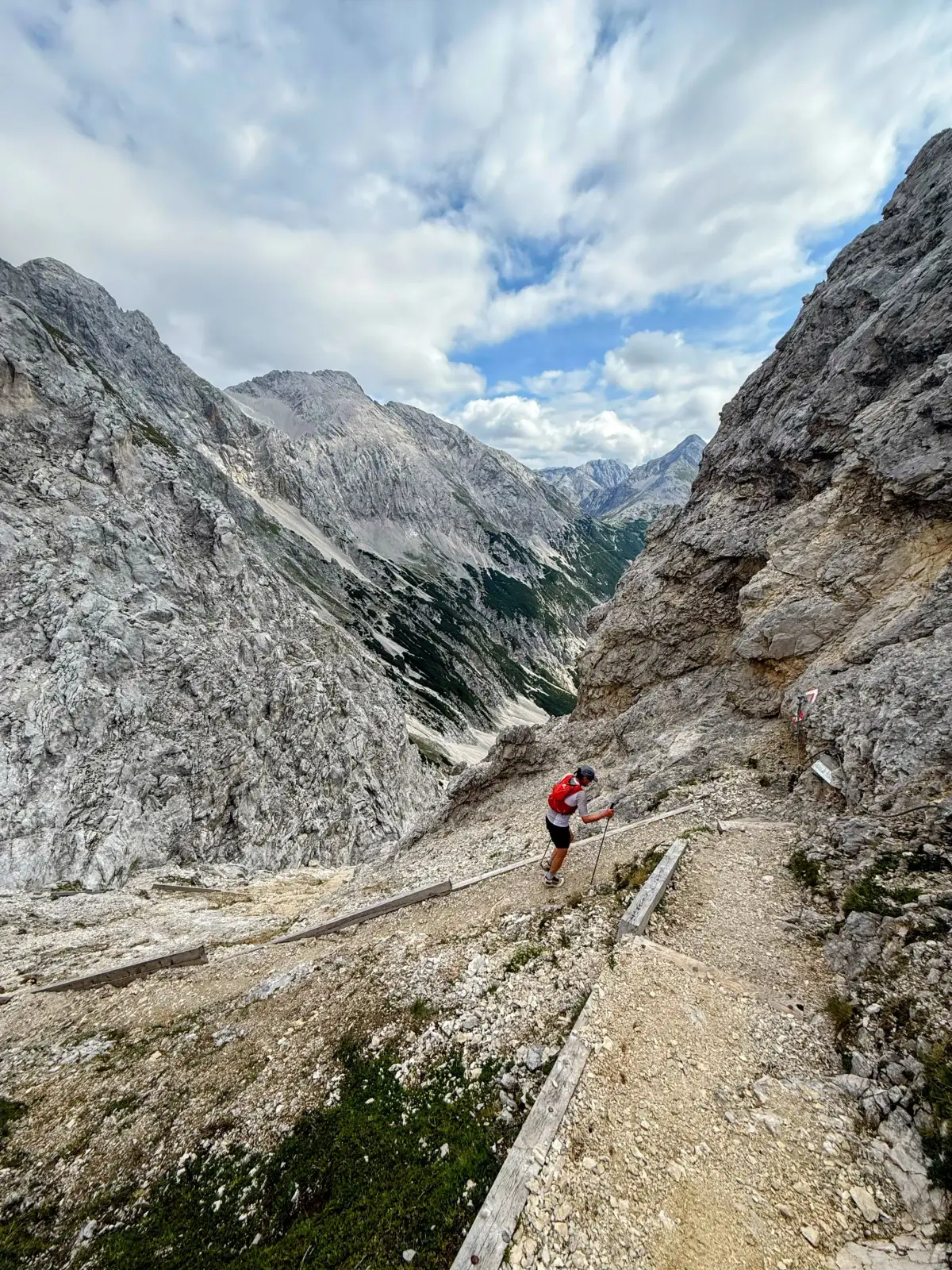
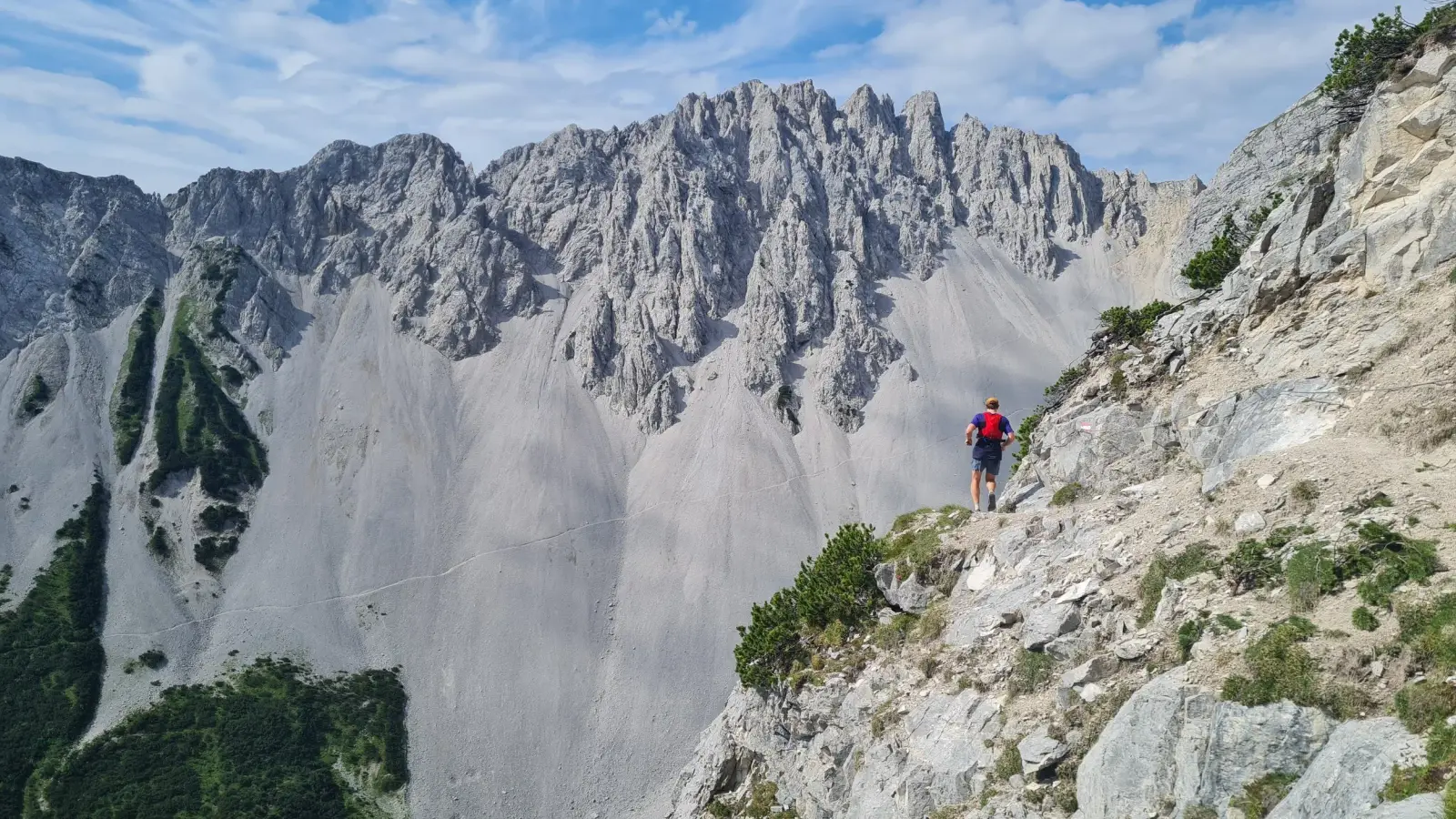
We continue climbing southwards on a rocky trail steeply towards the saddle of Lafatcher Joch, passing some amazing rock walls along the way. From the saddle, we take the trail traversing the hillside to the south-west called Wilde Bande Steig. This is a true Karwendel running at its best, with great views, technical trails and some nice exposure. The last 200 vertical meters to the saddle follows a slope of loose scree before reaching the Stempeljoch saddle.
The route is all downhill from here. First we run from the saddle through a large alpine bowl behind Rumer Spitze towards the next hut - Pfeishütte. Another great place to stop for some food or something to drink. From the hut, we take a steep trail following the stream steeply downhill until the steepness eventually eases and the trail connects into a forest road also leading down from the hut.
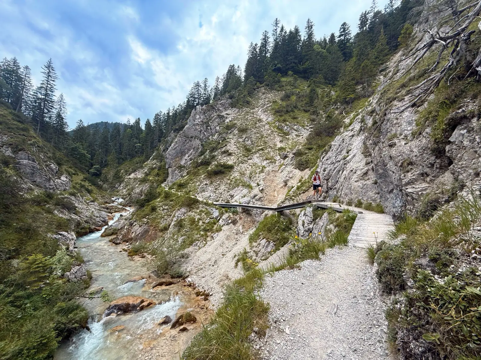
From here, the moving gets really quick. We can really stretch the step and roll downhill for a lot of kilometers. We pass the Möslalm, the last hut along the way worth stopping at. We follow the road further all the way until there is about 6km left. We take a turn to the left from the road, following the sign towards Gleirschklamm. The turn is located after a bridge few hundred meters down the sound road and leads into the amazing gorge, that’s both interesting to run and look at.
It is only a few kilometers left after the gorge, which is already described here.
Photos by@bennibruand@the.running.nomad