Trails / Tux Alps
Nafing-Nurpens Round
10 August 2026 · Lukas Toma
- Length
- 21 km
- Vertical
- 1300 m
- Start & finish
- Innerst
- Speed
- very runnable. fitness is your only limitation.
Very runnable loop through long valleys of Tuxer Alps with an easy summit.
The route
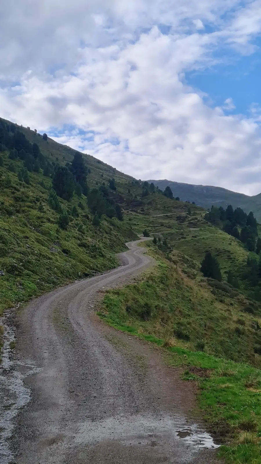
We start of from the parking lot following the signs towards Weidener Hütte. After a short traverse on the trail crossing a stream, we connect to the forest road heading up to the hut. We follow this road upwards into the valley.
At some point, we leaving and ascend up for some change, passing by the pastures of Hochsinnalm and Fiderissalm Niederleger, before descending back down on the Bettlerweg to the forest road. We continue on the road until reaching the Weidener Hütte.
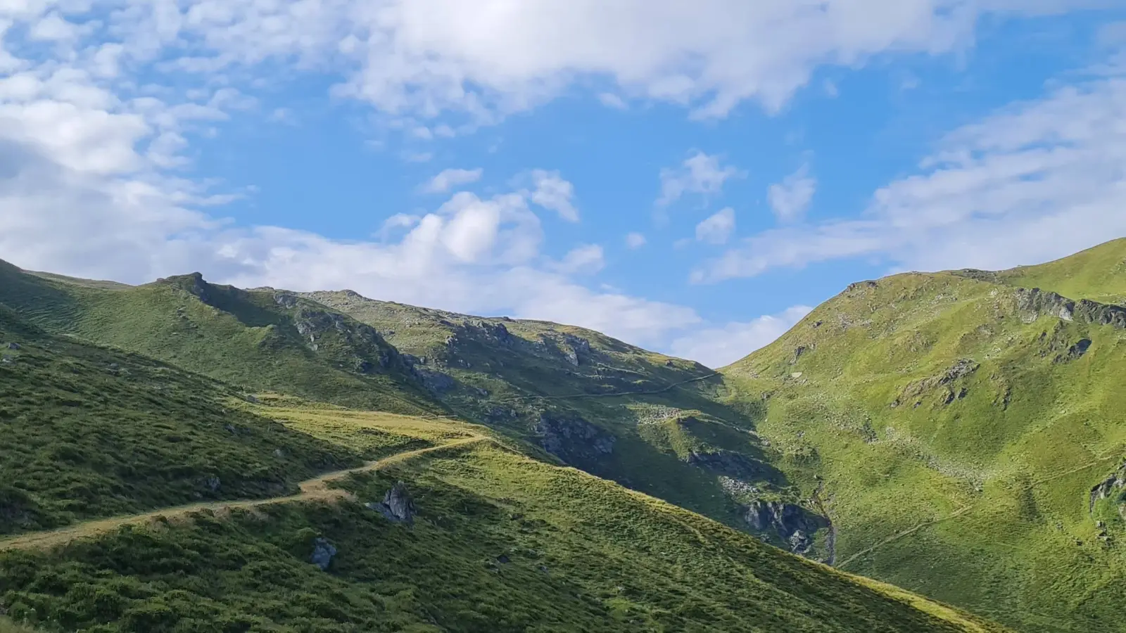
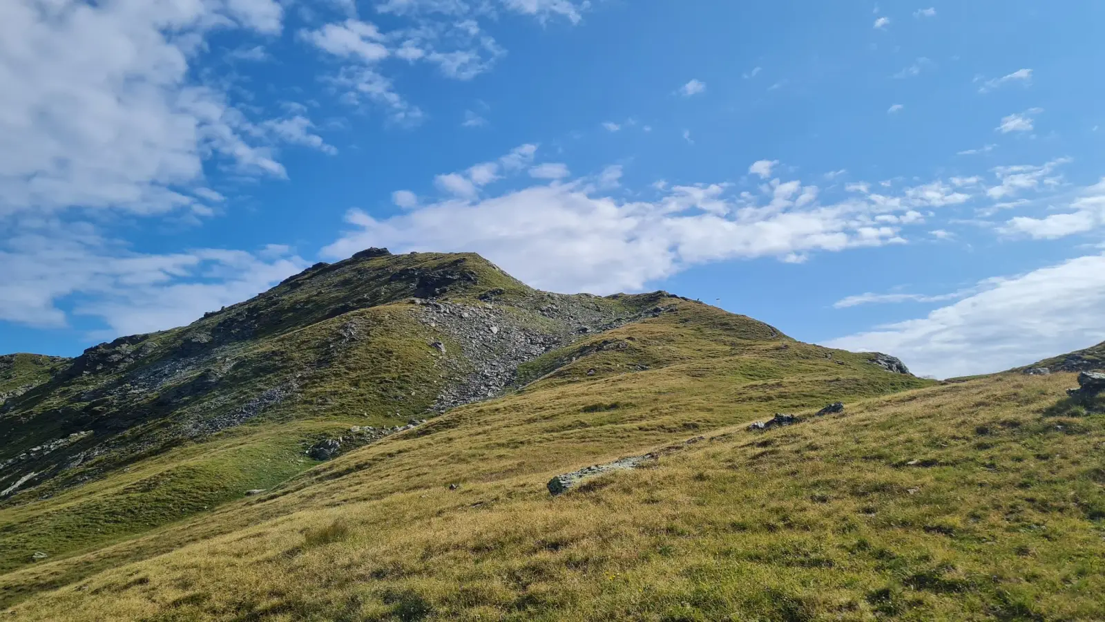
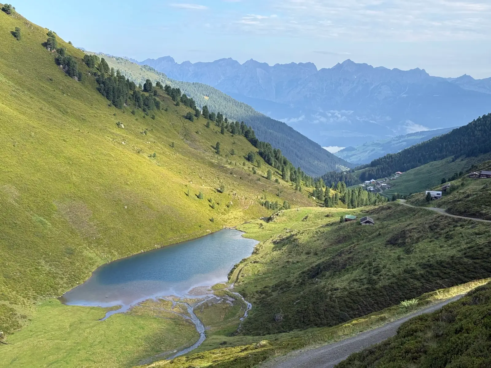
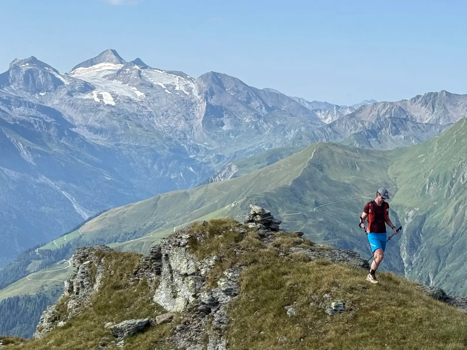
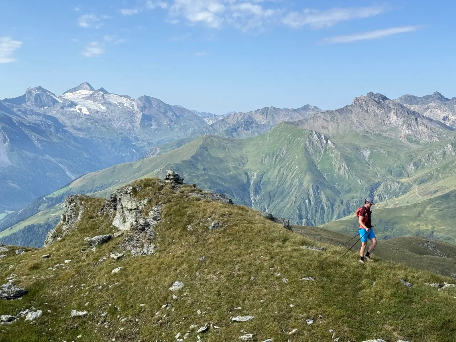
We pass the hut and keep following the forest road upwards. We pass Nafingalm with a view of a beautifully coloured lake. The road starts ascending through zig-zags every deeper into the valley. After the last right-hand turn, a trail disconnects that leads us more steeply south-east to the ridge and shortly after to the summit of Halslspitze (2574m), with great views of Tuxer glaciers and Olperer in the background.
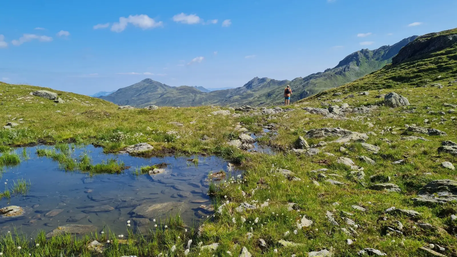
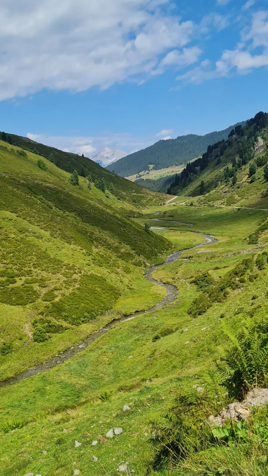
We continue a few hundred meters more along the ridge eastwards until the saddle, before dropping steeply north on a small trail leading into the Nurpens valley. We pretty much follow the river in the middle of the valley out. The trail eventually passes a hut at Obernurpensalm and turns into a forest road that continues down the valley.
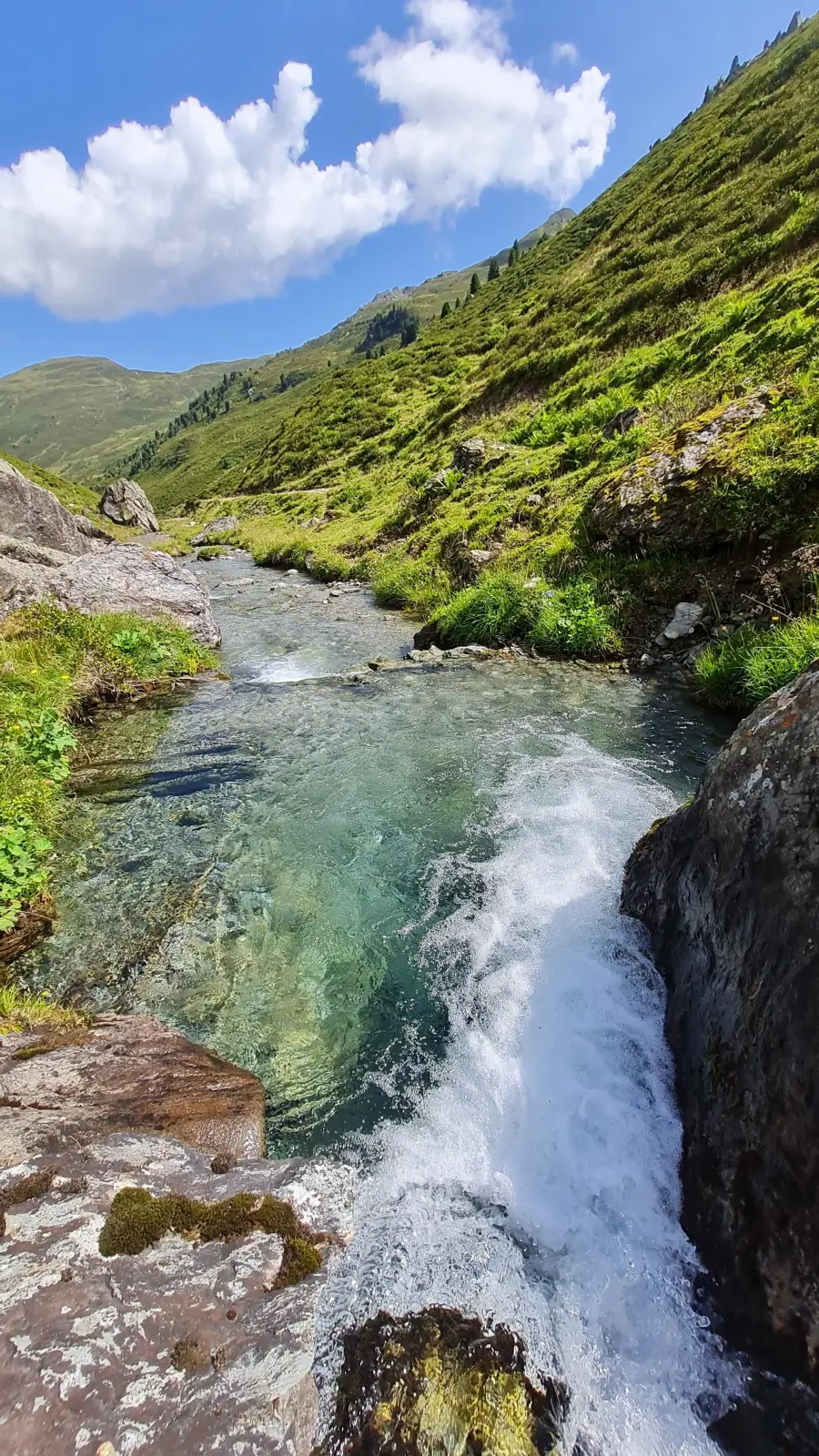
From here navigation is easy. There a some nice pools to cool off at on a hot day. Otherwise we follow the road out of the valley until reaching our car back at the Innerst.
Photos by@the.running.nomadand@bennibru