Trails / Brenner
North ridge of Obernberg valley
17 June 2024 · Lukas Toma
- Length
- 29 km
- Vertical
- 1700 m
- Start & finish
- Nösslach Highway rest area
- Speed
- The ridge on technical trails, the way back mostly on fast forest roads
A technically easy loop over the north ridge of Obernberg valley, crossing over Nösslachjoch, Egger Berg, Leitnerberg, Trunajoch and Lichtsee.
The route
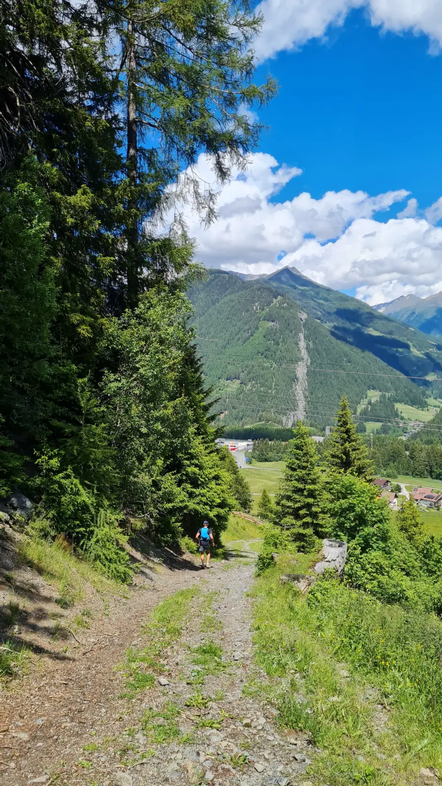
We park at the highway rest area of Nößlach and start running up a road north towards Hotel Humlerhof. Just before the hotel, we turn of to a forest road (and eventually a trail) that leads in the direction of Bergeralm. Just before Bergeralm we connect back to the forest road, follow it uphill for a few turns and eventually connect to a steep trail that leads us south-west along the ski slope and past the mountain station of the ski lift to the summit of Nößlachjoch (2221m).
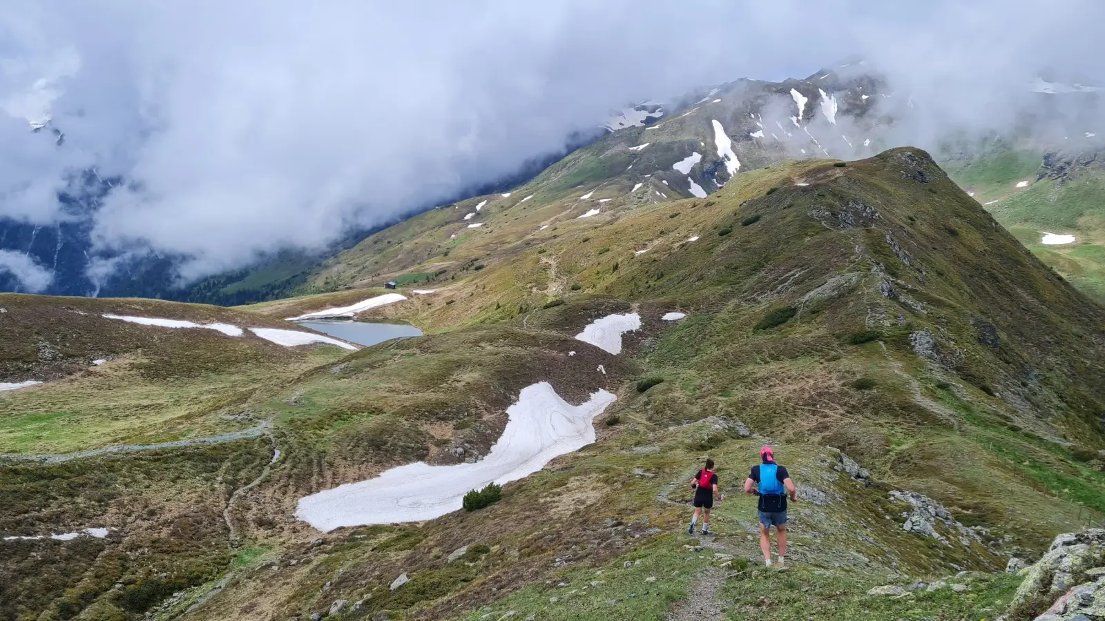
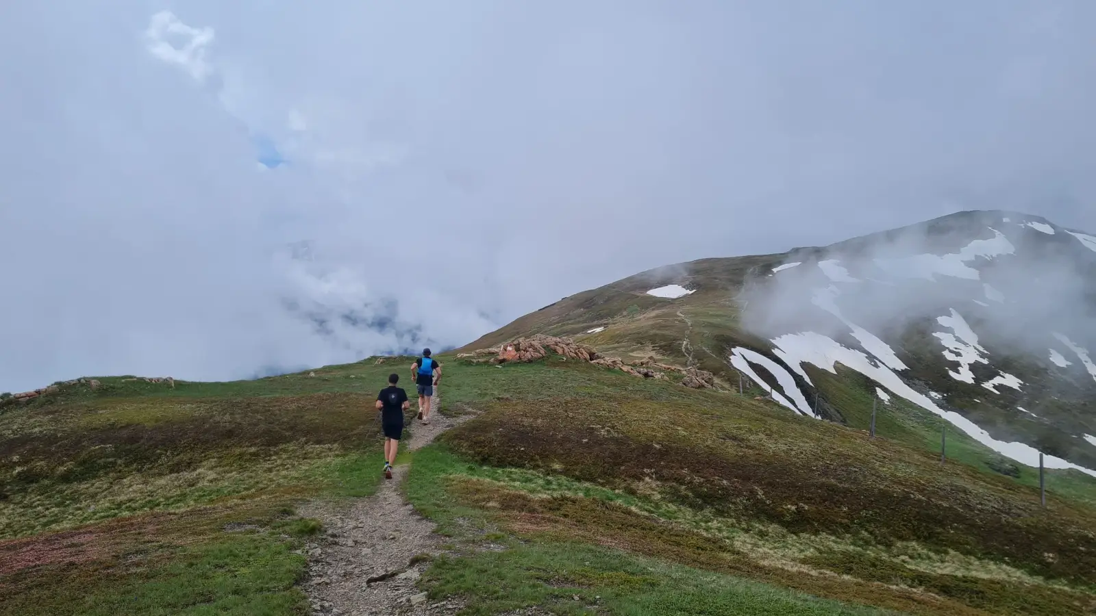
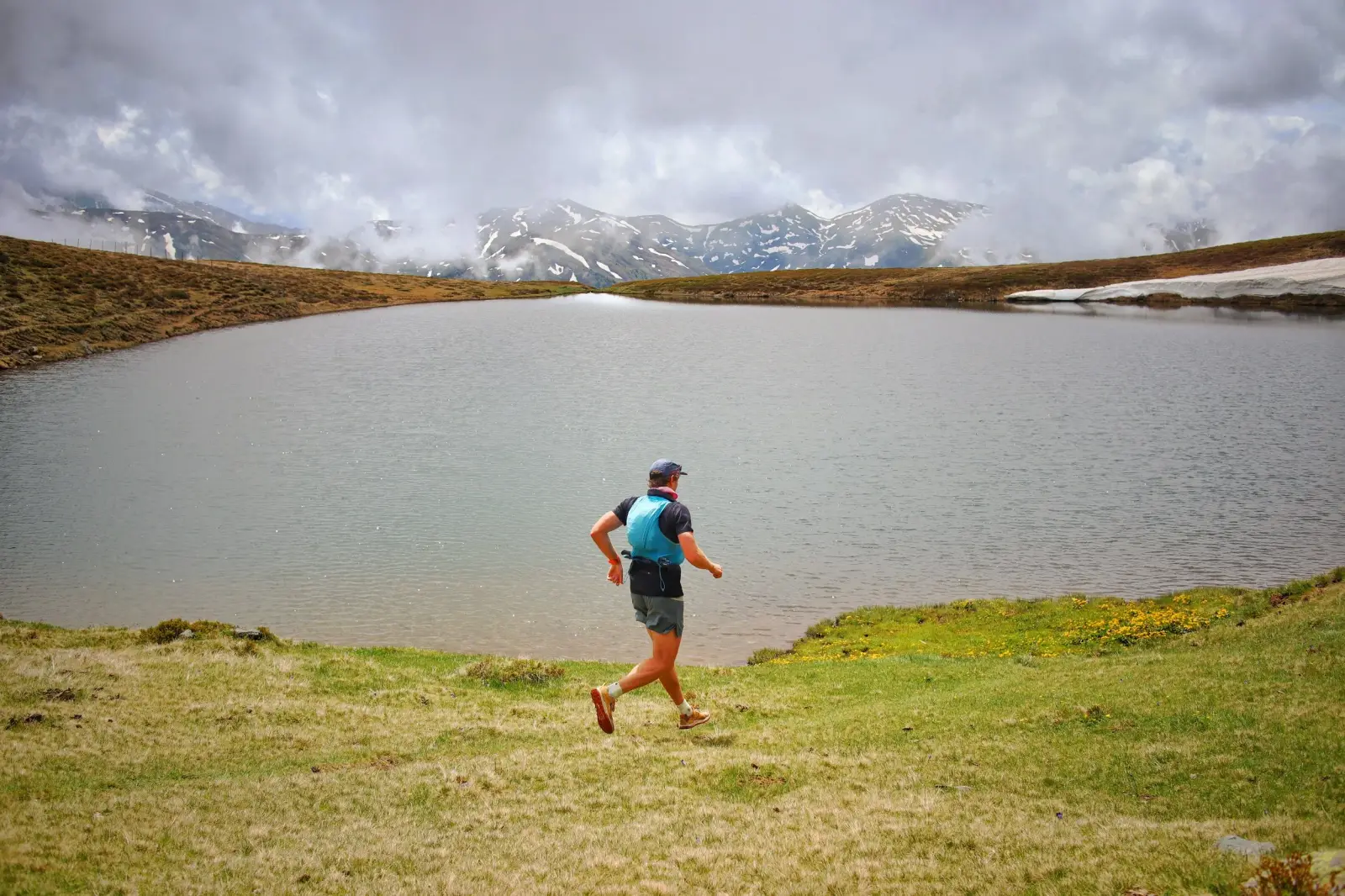
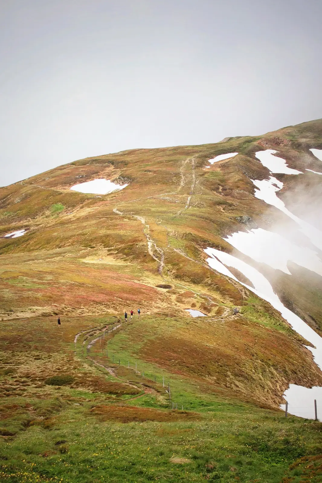
From here we start following the ridge in front of us, always keeping roughly south-east. First we cross the summit of Eggerberg (2280m), them through the saddle called Eggerjoch and onto the next summit of Leirtnerberg (2309m). We continue along the ridge to the next summit of Trunajoch (2205m) and a small lake Lichtsee.
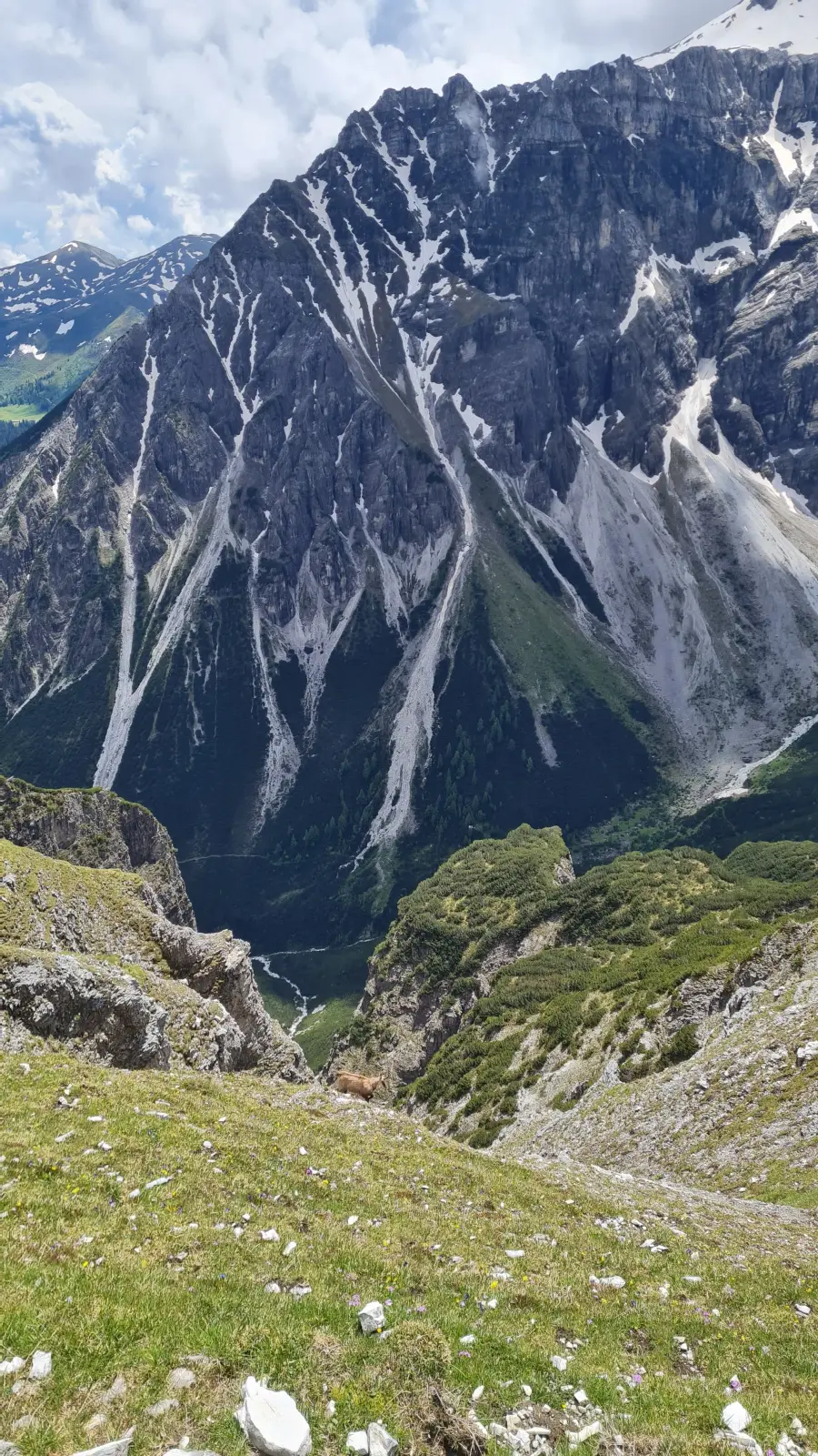
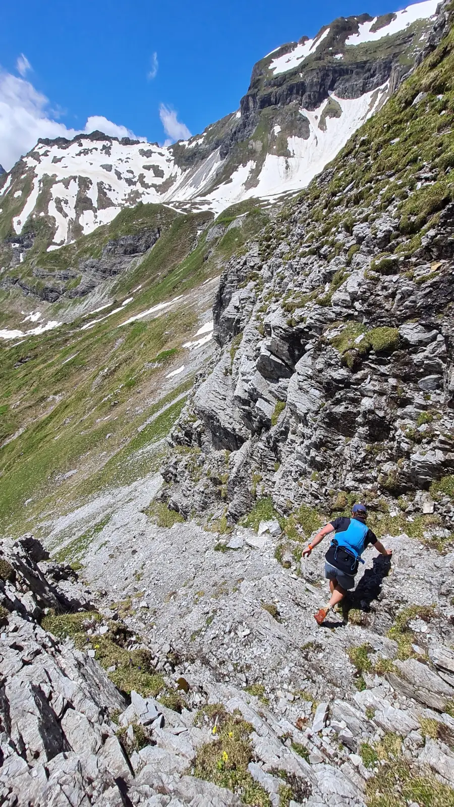
After the lake, the trail gets a lot smaller and a lot more technical. We traverse on the south-east flank of Rötenspitze, Am hohen Kreuz and Muttenkopf before finally turning around and starting to head back in north-west/ west direction. After short descent through the meadows we connect to a forest road leading down to the Kastnerbergalm. There are many cows along these parts.
From here we continue along the forest road for many kilometers in the direction of Nößslachhütte. After the hut, only a short trail section remains before connecting back to the streets of Nößlach and following it for a few kilometers back to the parking lot.
Photos by@the.running.nomad,@bennibruand@innsbruckalps