Trails / South Tirol
Toblacher Kreuz (2305m) from Lake Antorno
2 June 2025 · Lukas Toma
- Length
- 11 km
- Vertical
- 600 m
- Start & finish
- Parking at Lake Antorno
- Speed
- Mostly quite runnable trails. Short steep section down from the mountain plateau.
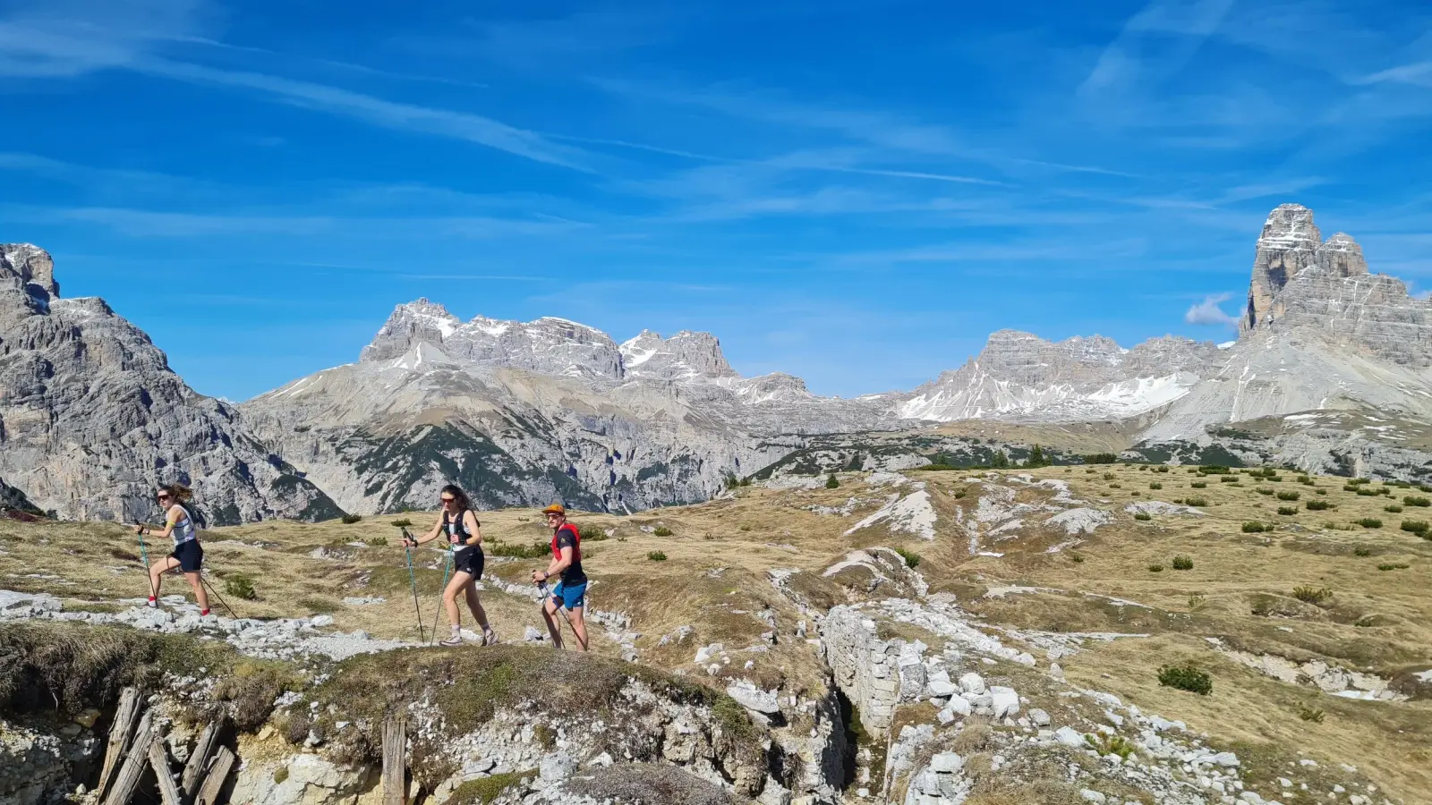
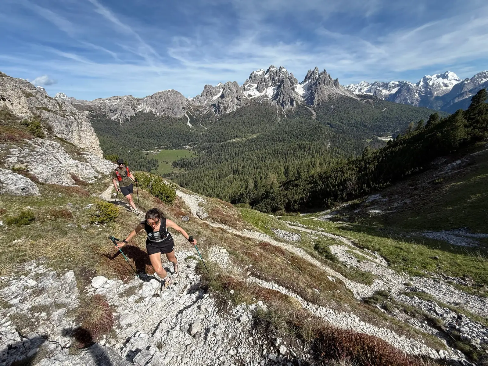
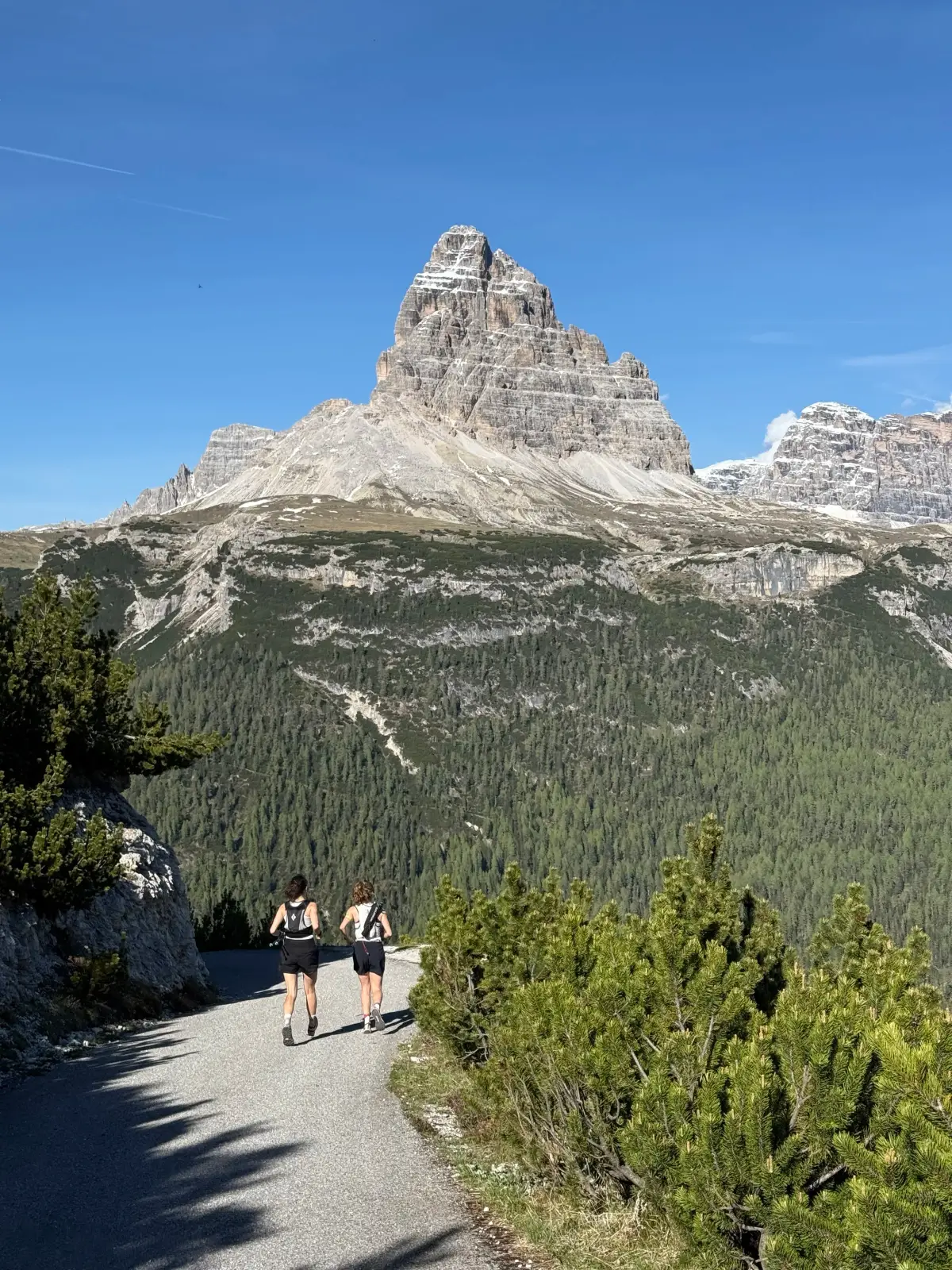
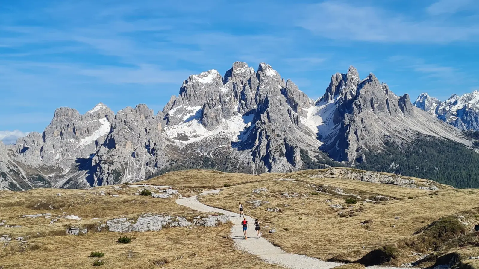
A nice loop starting from Lake Antorno that runs all the way to South Tyrol, with amazing views of Tre Cime and other beautiful Dolomite peaks.
The route
We start running from the Lake Antorno parking lot, following the road towards Auronzo hut few hundred meters past the lake. Wr turn off to a trail on the lest (north-west). We connect to a forest road, still following it towards the Refugio Monte Piana. We get to the main paved road going up to the hut. You can chose whether to follow the road or take the shortcuts cutting the switchbacks with pieces of steep trail. Eventually we reach the hut at the top and the plateau of Monte Piana.
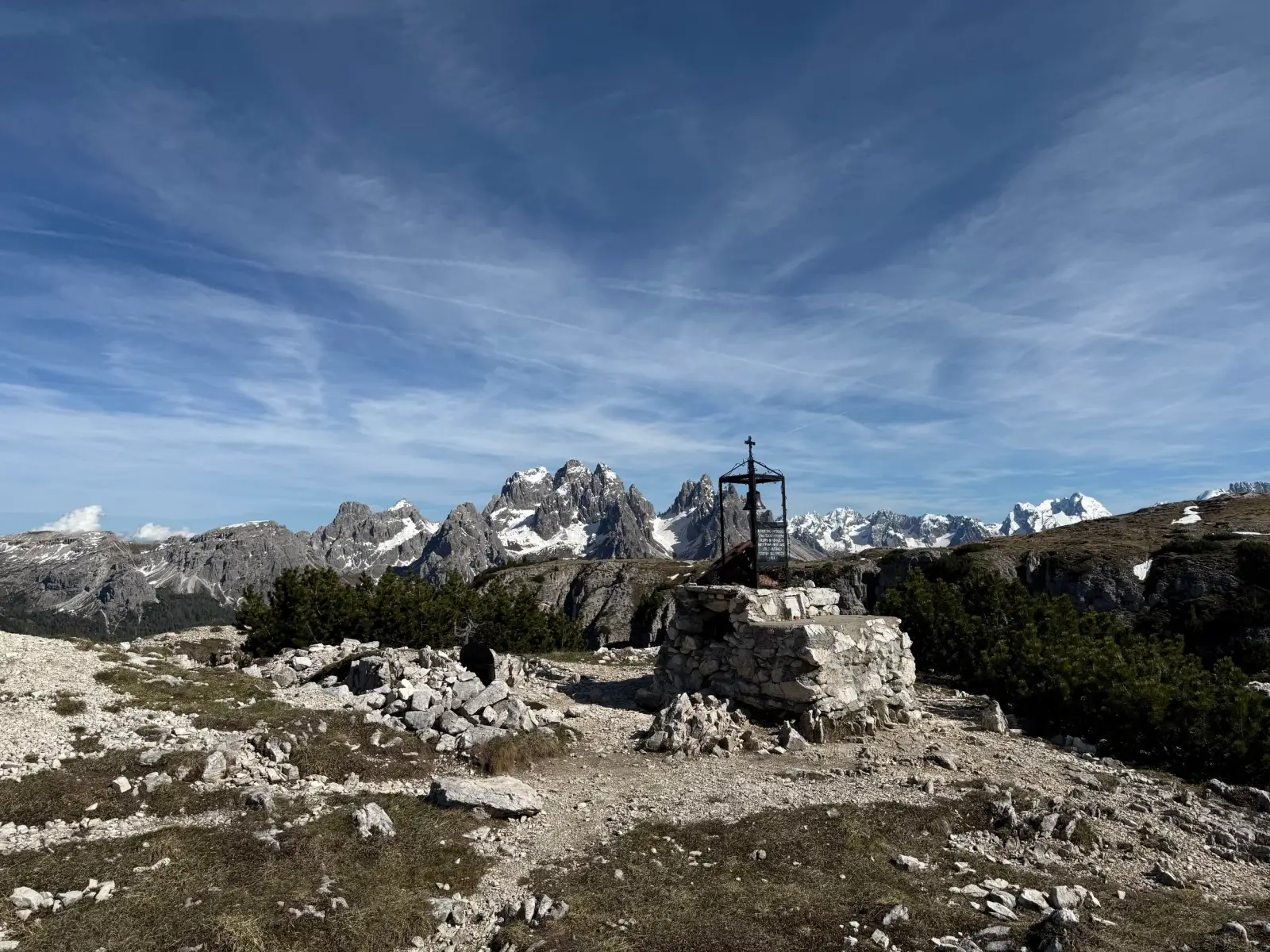
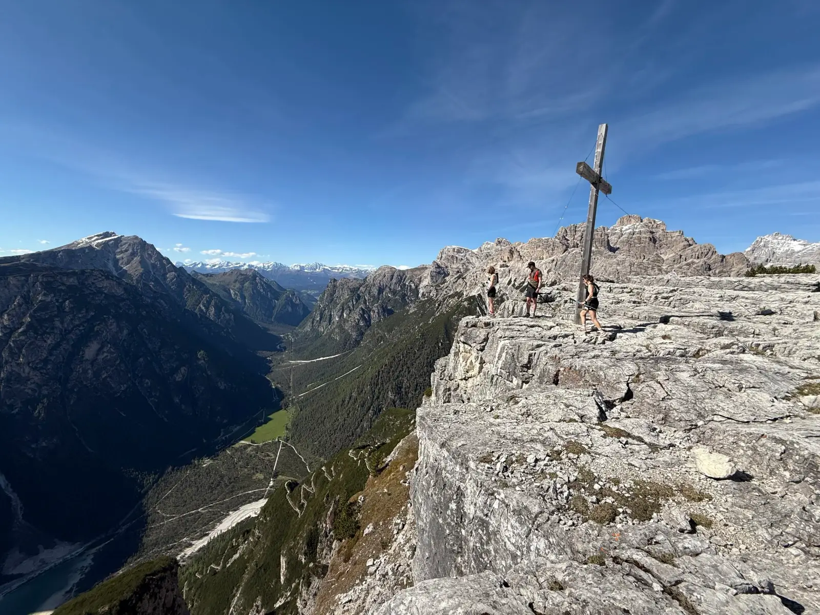
The plateau has many trails on it. We followed the right side of the mountaintop northwards, crossing the summit of Monte Piano (2306m) and eventually to the summit cross of Toblacher Kreuz (2305m) with a steep west face and amazing views of both Tre Cime and the valleys towards Toblach and Cortina D’Ampezzo.
We turn around and follow the west side of the plateau back southwards. Along the way, we can, we can also tag the summit of Monte Piana (2324m), before finding our way back to the Rifugio Monte Piana. From here, we backtrack our steps back down the trails until reaching the lake.
Photos by@bennibru,@the.running.nomad,@sontschi2604and@isale04